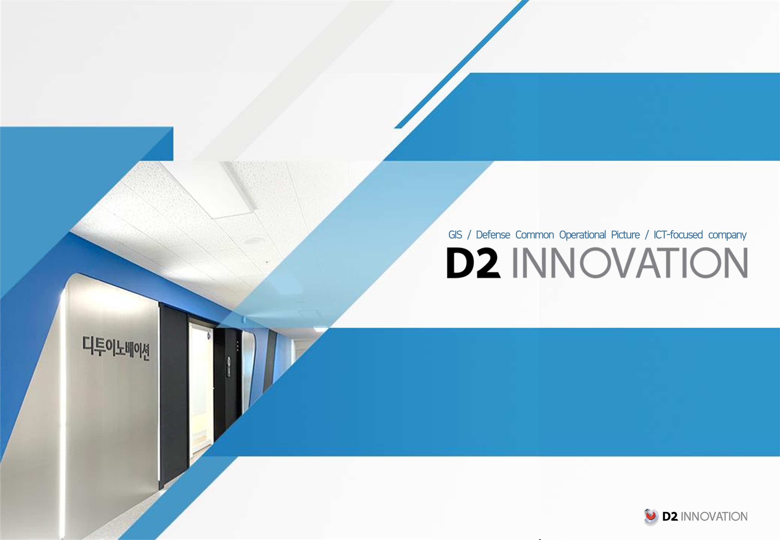
Company Introduction
 Download PDF
D2Innovation is a leading provider of defense geospatial solutions in South Korea, driven by creative insight and cutting-edge technology.
D2Map™
 Download PDF
In a rapidly evolving world, spatial information plays an increasingly vital role. D2Map™ connects users to diverse data across the digital geospatial landscape.
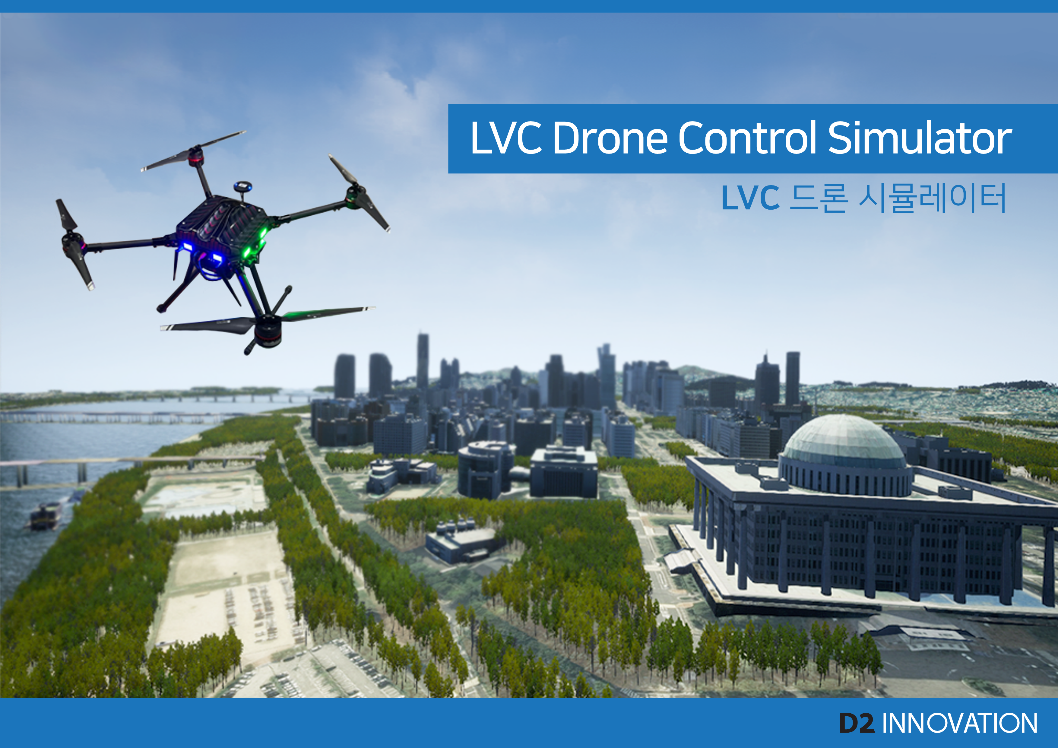
Drone Control Simulator
 Download PDF
The LVC (Live Virtual Constructive) and Digital Twin-based drone tactical training simulator enhances mission readiness by leveraging advanced ICT technologies to create realistic tactical training scenarios.
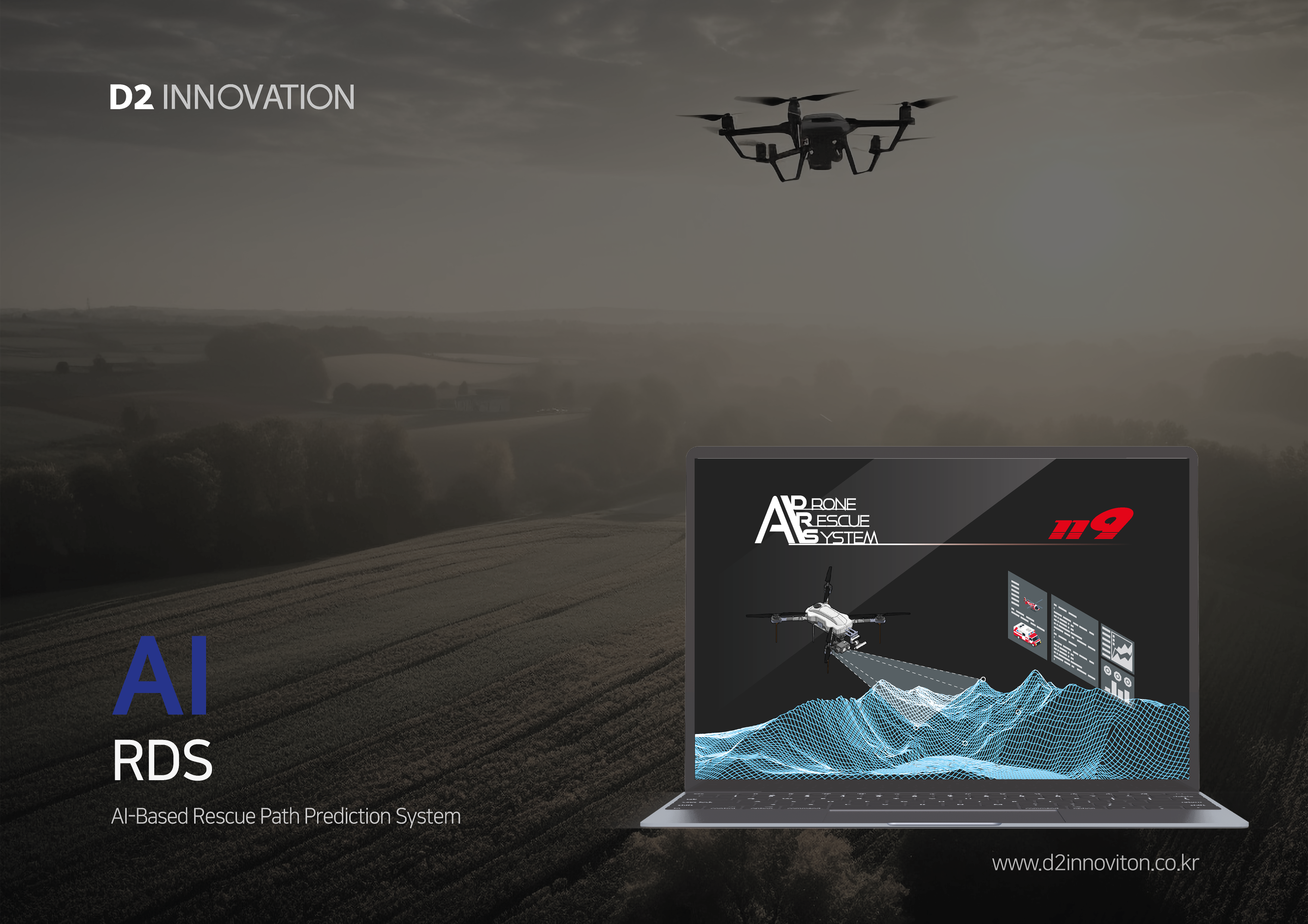
AIRDS
 Download PDF
The AI-Based Rescue Path Prediction System leverages geospatial and rescue data from the National Fire Agency to identify high-risk mountain areas and predict the movement of individuals in need, enabling faster response within the golden hour.